
People · Property · A Lasting Landscape
The Land Before Westcave
Before Westcave became a preserve, the land passed through surveys, sales, family transfers, legal disputes, and foreclosure. Follow the documented chain of ownership from the Republic of Texas to the beginning of the modern Preserve.
Read the Record
Ownership in Detail
Explore the records behind the presentation to learn more about the surveys, transfers, disputes, and families that shaped the land before it became Westcave Preserve.
The Fontaine and Moss Surveys
Edward Fontaine’s Republic of Texas land claim created the survey containing the future Westcave grotto. The neighboring Moss Survey originated when John L. and Indiana Moss claimed and occupied 145 acres of vacant public land in 1873.
Although later maps continued to identify the property as the “Edward Fontaine Survey,” this was the name of the survey—not necessarily the name of its current owner. By the early 1900s, the Fontaine and Moss tracts were regularly described together in property transactions.
Parry, Hunnicutt, and Bond · 1905
In 1905, A.G. Parry sold property associated with the John Moss and Edward Fontaine surveys to W.R. Hunnicutt. Later that year, E.R. Hunnicutt transferred approximately 180.8 acres of the Fontaine Survey, together with the Moss Survey, to S.L. Bond. The reported consideration was $1,500.
Hill v. Meers · 1913–1915
S.L. Bond and his wife transferred interests in the combined property to A.J. Meers and J.W. Hill. Hill later sued Meers over a $400 promissory note secured by a lien on the Fontaine and Moss tracts.
- March 24, 1915: Hill won a default judgment against Meers.
- May 10, 1915: The sheriff seized the property.
- June 1, 1915: Hill purchased the land at public auction for $200.
Lawrence, Ward, and von Rosenberg · 1916–1920
J.W. Hill sold the property to Helene Lawrence in 1916 for $1,200. Lawrence transferred it to J.D. Ward the following year. Ward later sought a court judgment clearing older claims against the title.
In 1920, J.D. and Antoinette Ward sold the Moss and Fontaine surveys to C.J. von Rosenberg for $3,768.
Von Rosenberg to the Lay Family · 1936–1937
After C.J. von Rosenberg’s death, the property passed to Dora von Rosenberg. In 1936, she transferred it to her grandson, Charles James Granville, for one dollar and “love and affection.”
On April 28, 1937, Granville sold the Moss and Fontaine surveys to Chester and Harriet Lay for $10,200. A separate quitclaim addressed uncertain strips between the surveys, Cypress Creek, and the Pedernales River.
Lay, Nicholson, and Watson
The Lay family’s ownership became an important chapter in the property’s history. The grotto land eventually passed to W.D. Nicholson, an absentee owner who faced frequent trespassing.
In 1974, Nicholson sold approximately 25 acres containing the
grotto to John Covert Watson. That purchase marked the beginning
of Westcave’s transformation into a protected preserve.
Maps · Photographs · Documents
These surviving maps, legal records, photographs, and films offer
glimpses into the people and places represented in Westcave’s history.
Together, they reveal both how much the landscape has changed and how
much of its story remains visible today.
Explore the Archive
-
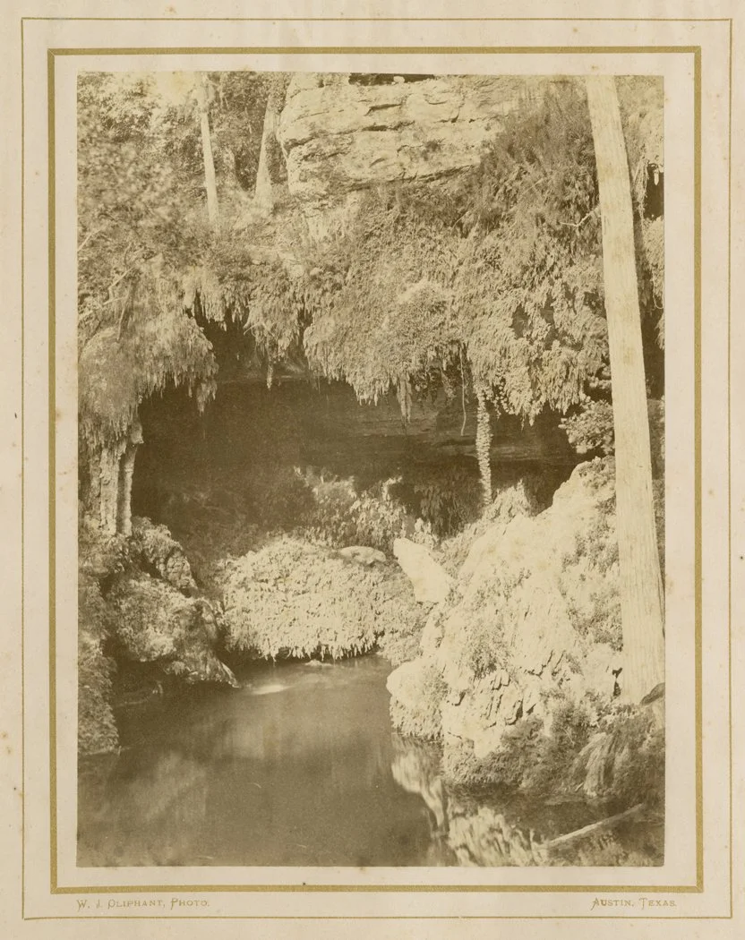
1870s
WESTCAVE, WILLIAM J. OPLIPHANT
A photograph of West Cave by William J. Olliphant, an Austin photographer active between 1866–1880. -
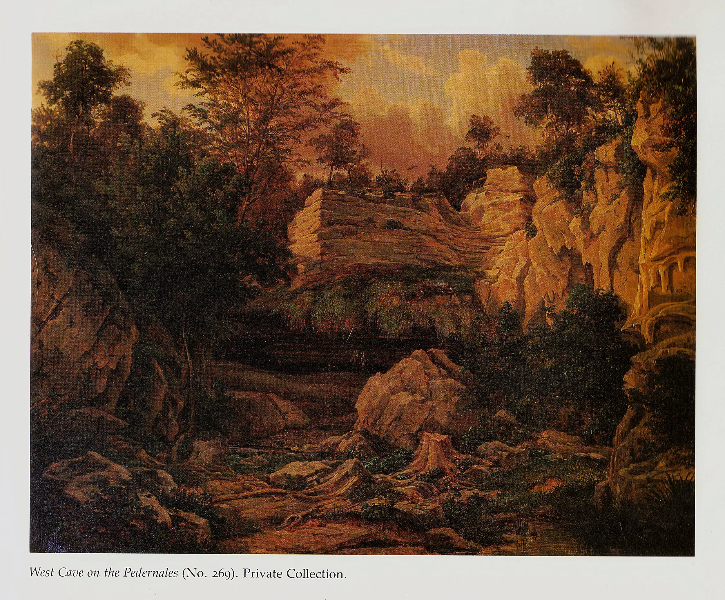
1880s
PAINTING BY HERMANN LUNGWITZ
A painting of the Westcave Grotto by Hermann Lungkwitz, created around 1880 during his commissioned sketching tour of the Pedernales River Valley for the Texas General Land Office.
Estate of Walter and William Staehely; James Patrick McGuire, Hermann Lungkwitz: Romantic Landscapist on the Texas Frontier (1983).
-
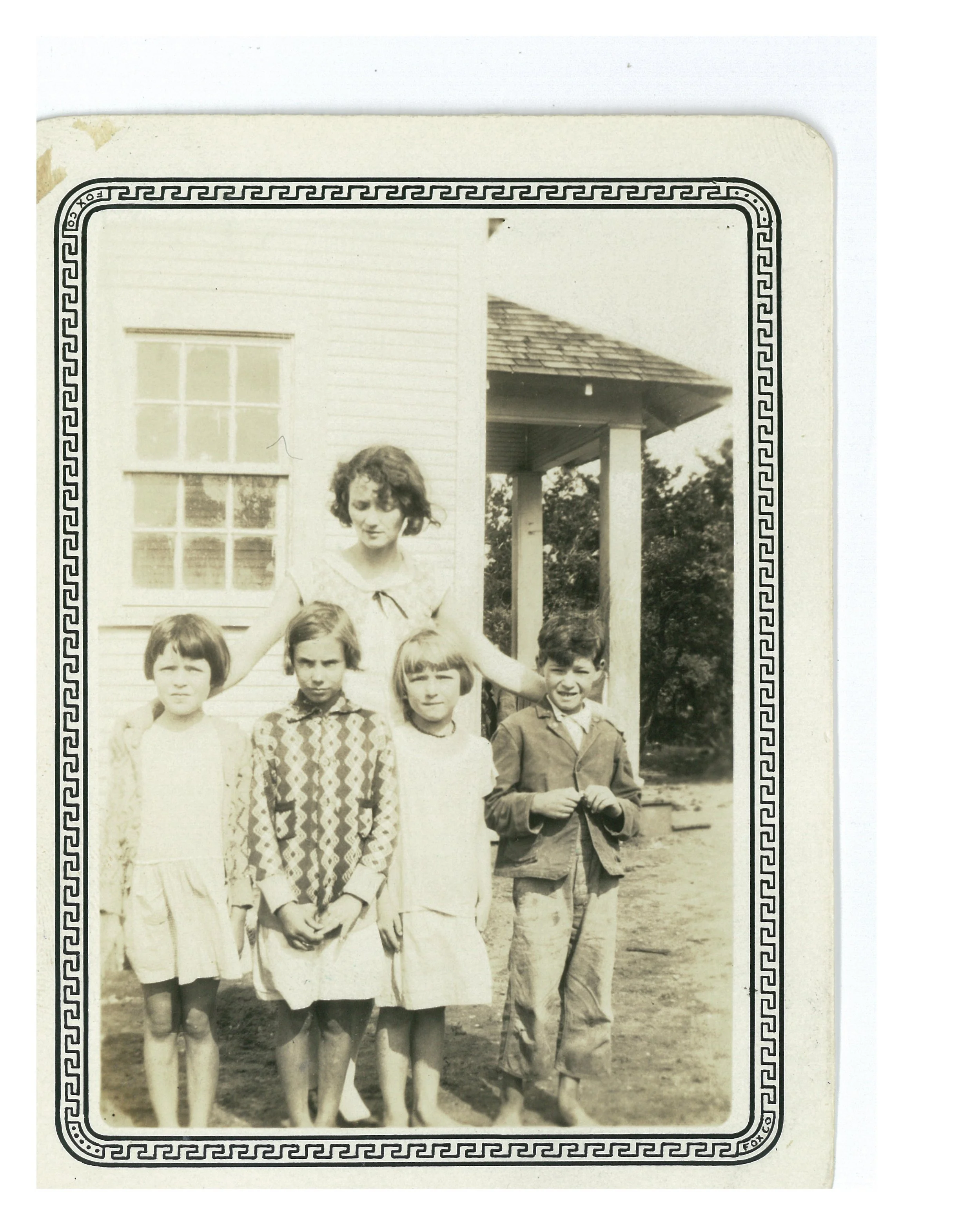
1920s
HAMILTON POOL SCHOOL
A rural schoolhouse that served children and families living throughout the surrounding Hill Country community.
Students pictured (left to right): Bernice Hunnicutt, Florene Bond, Elnora Neumann, and J.D. Lawson. Teacher: Ruth Hunnicutt Haynes. Kneese family photograph.
-
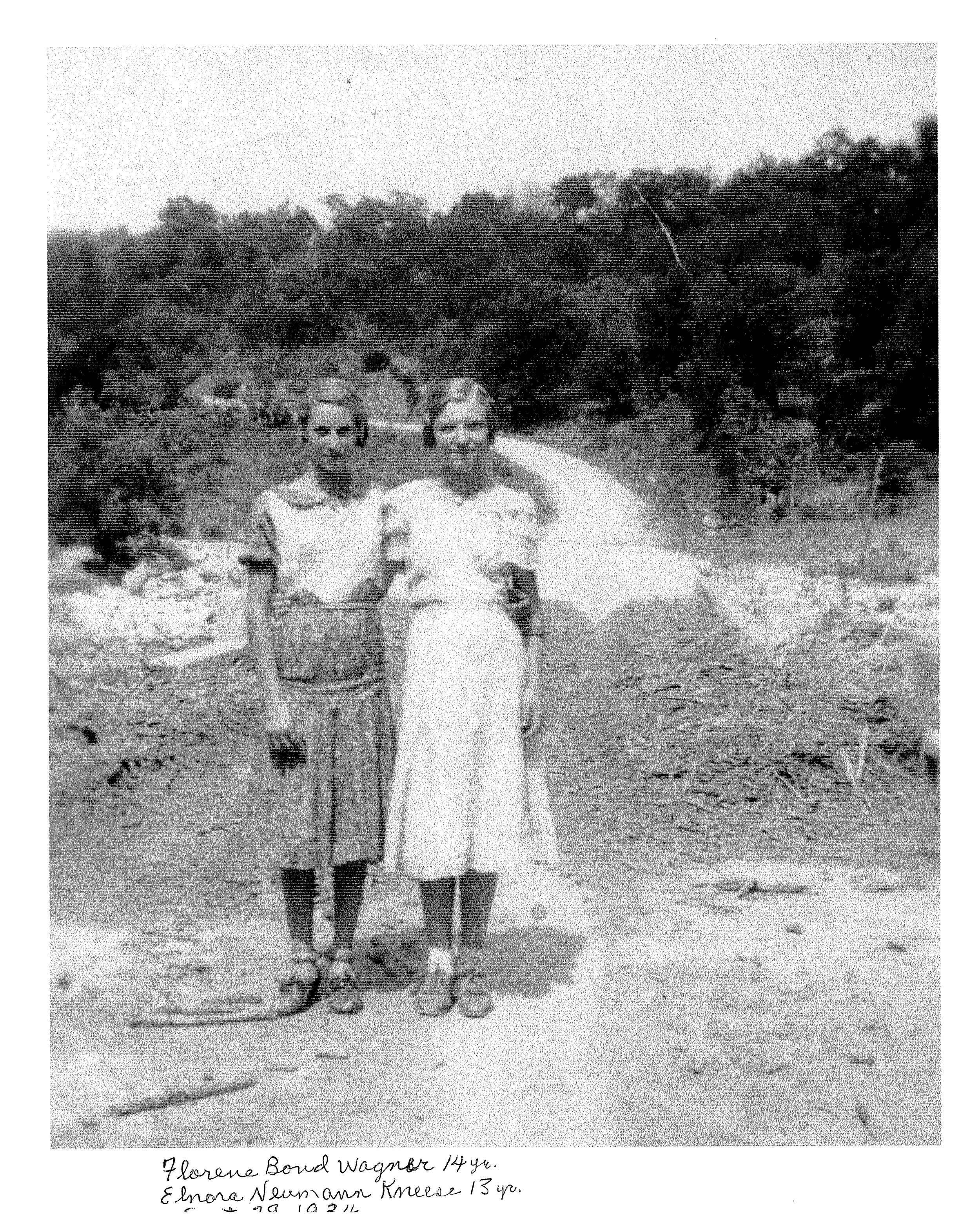
EARLY 1900s
HAMMETT’S CROSSING BRIDGE
Hammett’s Crossing helped connect families, ranches, schools, and neighboring communities across the rural Hill Country landscape.
Florene Bond (age 14, left) and Elnora Neumann (age 13) standing at the Pedernales River crossing.
-
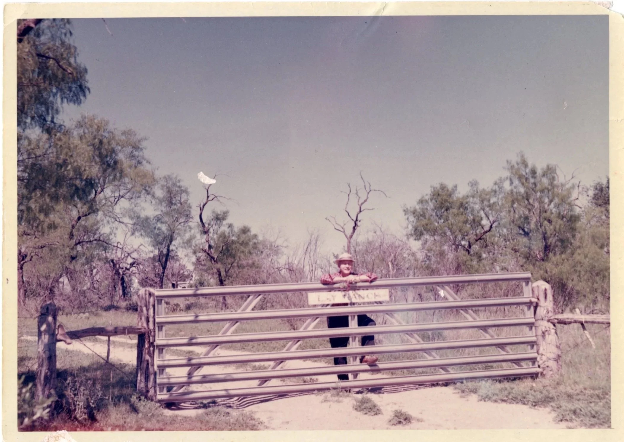
1937–1966
THE LAY RANCH YEARS
During this period, the property was part of the Lay Ranch, preserving glimpses of ranching, family life, and the landscape before Westcave was established.
-
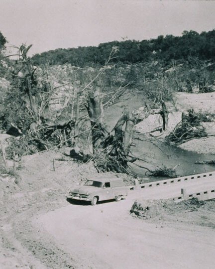
1952
PEDERNALES RIVER FLOOD
Photograph by S. D. Breeding, taken after the September 11 flood of record. Water rose an estimated 50–70 feet above Hammett’s Crossing. Courtesy of the U.S. Geological Survey.
-
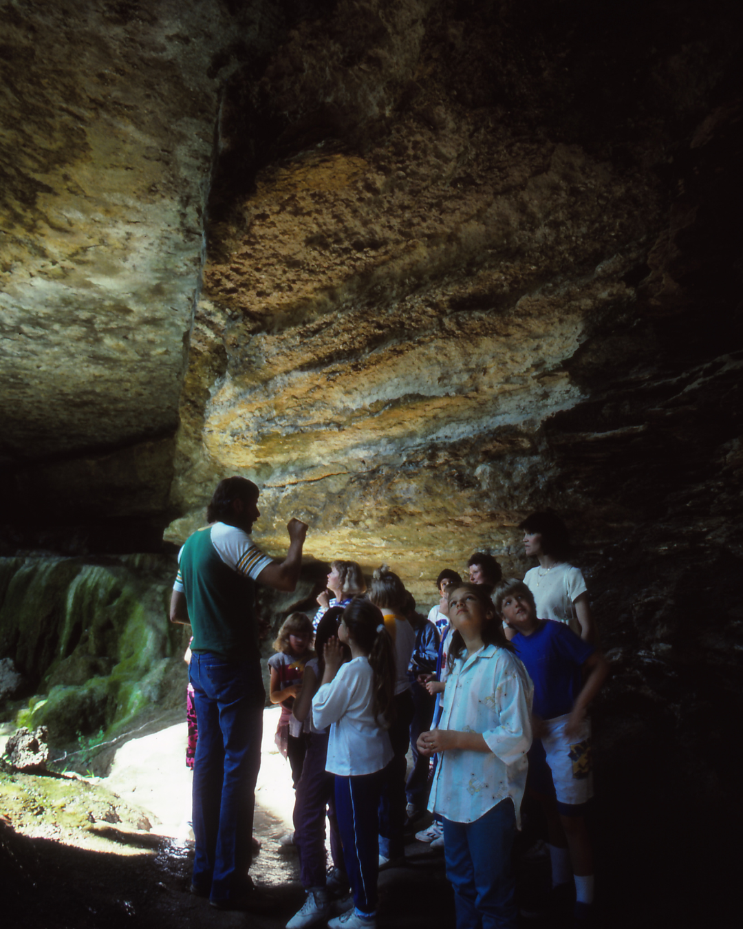
1970s
THE FIRST SCHOOL PROGRAMS
John Ahrns traveled to schools across Dripping Springs, Johnson City, and the Lake Travis area, inviting teachers to bring students to Westcave. These early visits marked the beginning of the Preserve’s long-standing environmental education program.
-
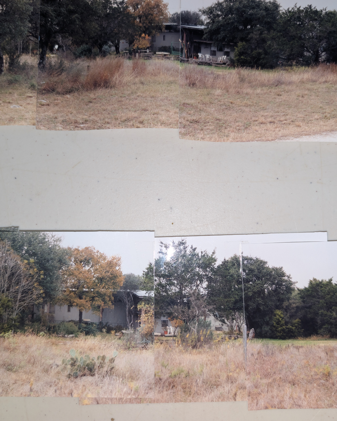
1980s–1990s
THE EARLY VISITOR CENTER
Before the Environmental Learning Center, Westcave operated from a double-wide trailer that served as its headquarters. Tours were organized, students were welcomed, and the everyday work of caring for the Preserve continued from this modest space.
-
LATE 1990s
ENVISIONING A NEW VISITOR CENTER
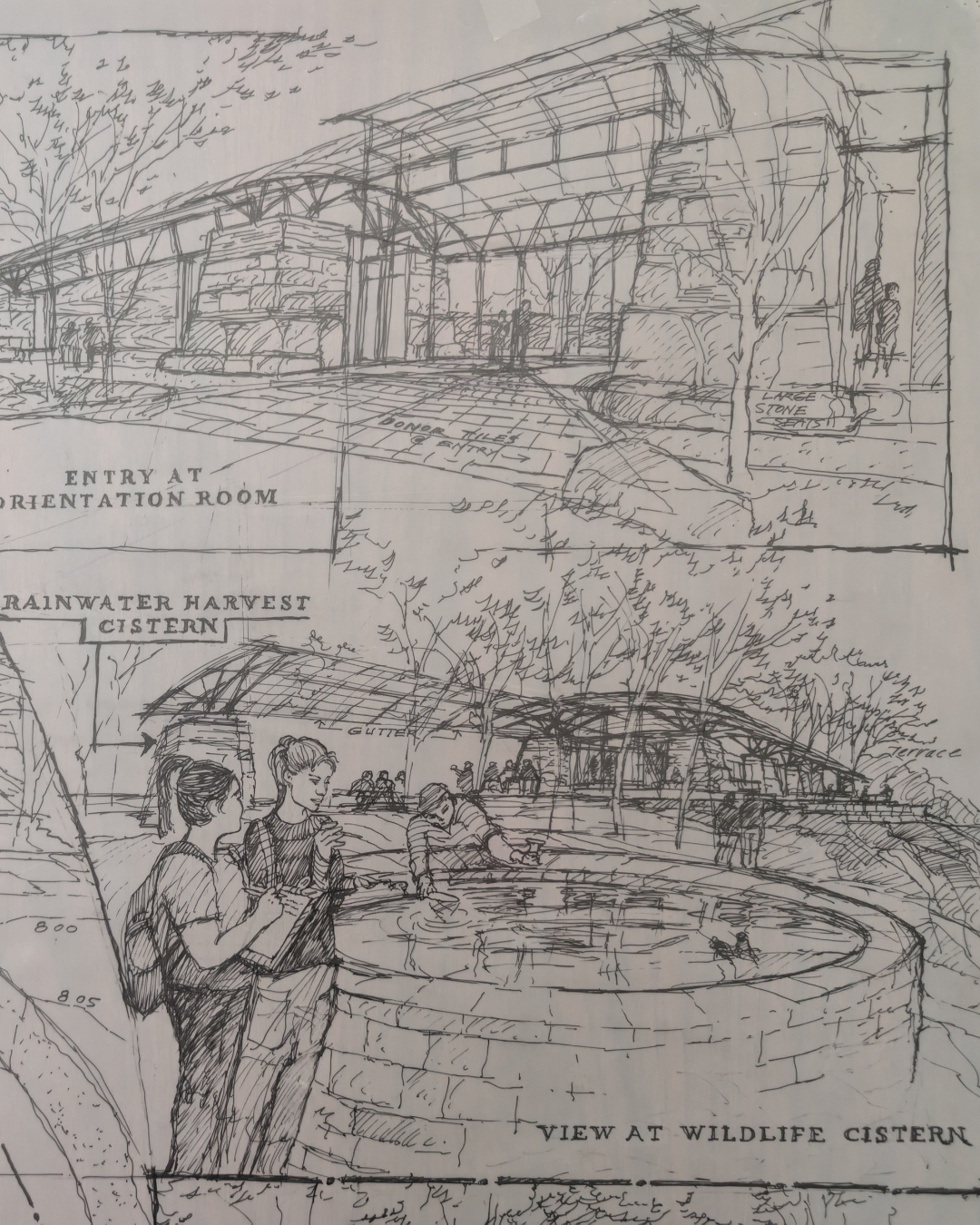
Early sketches by architect Robert Jackson reveal a clear goal: create a building that belonged to the landscape rather than competed with it. The design remained intentionally simple so that the canyon and surrounding ecosystem would stay at the center of the visitor experience.
-
2002
BUILT FROM THE LAND
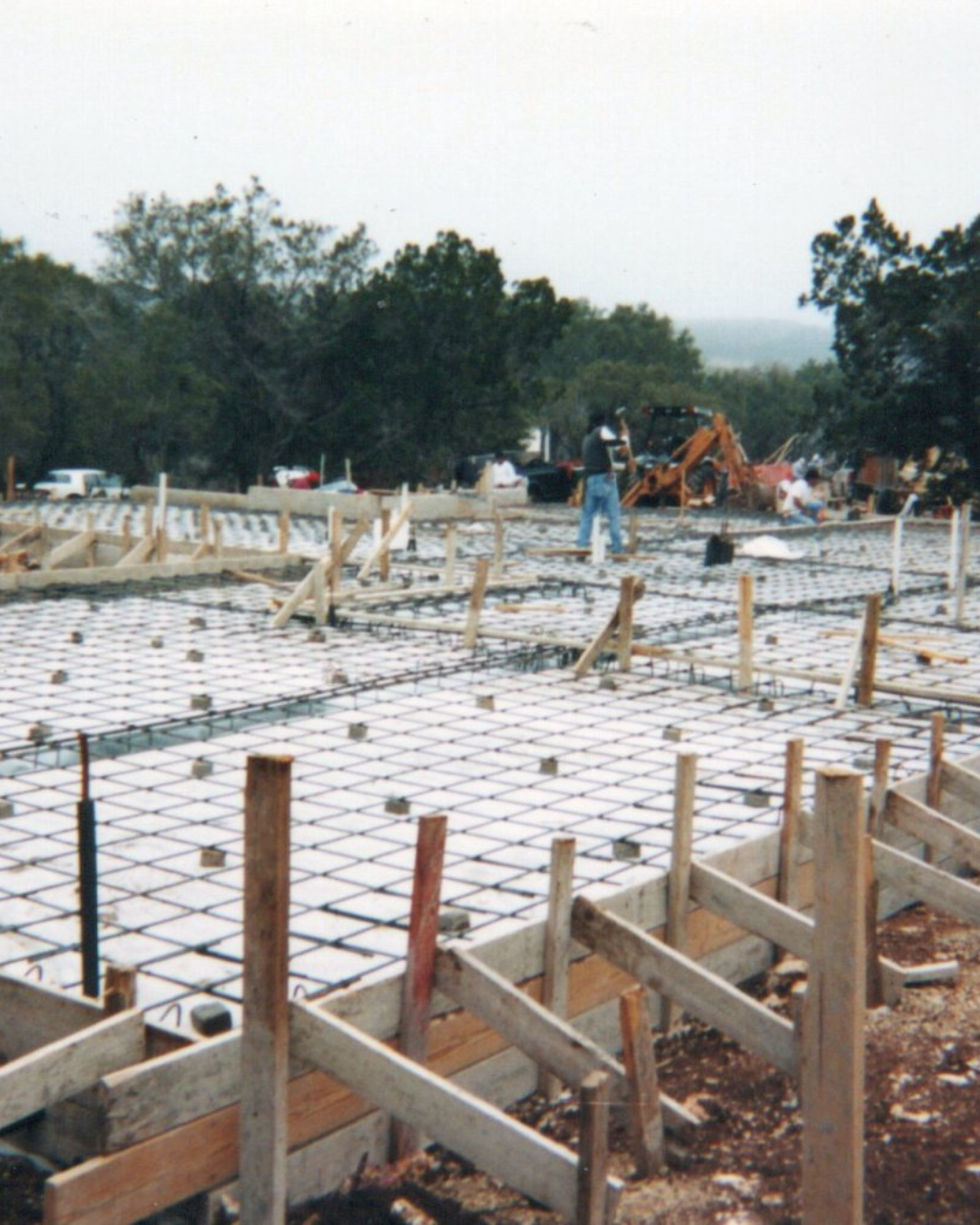
During construction of the Environmental Learning Center, Glen Rose limestone quarried near Sisterdale was used to connect the building to the same geological formation found throughout the Preserve.
-
2006
NATIONALLY RECOGNIZED GREEN DESIGN
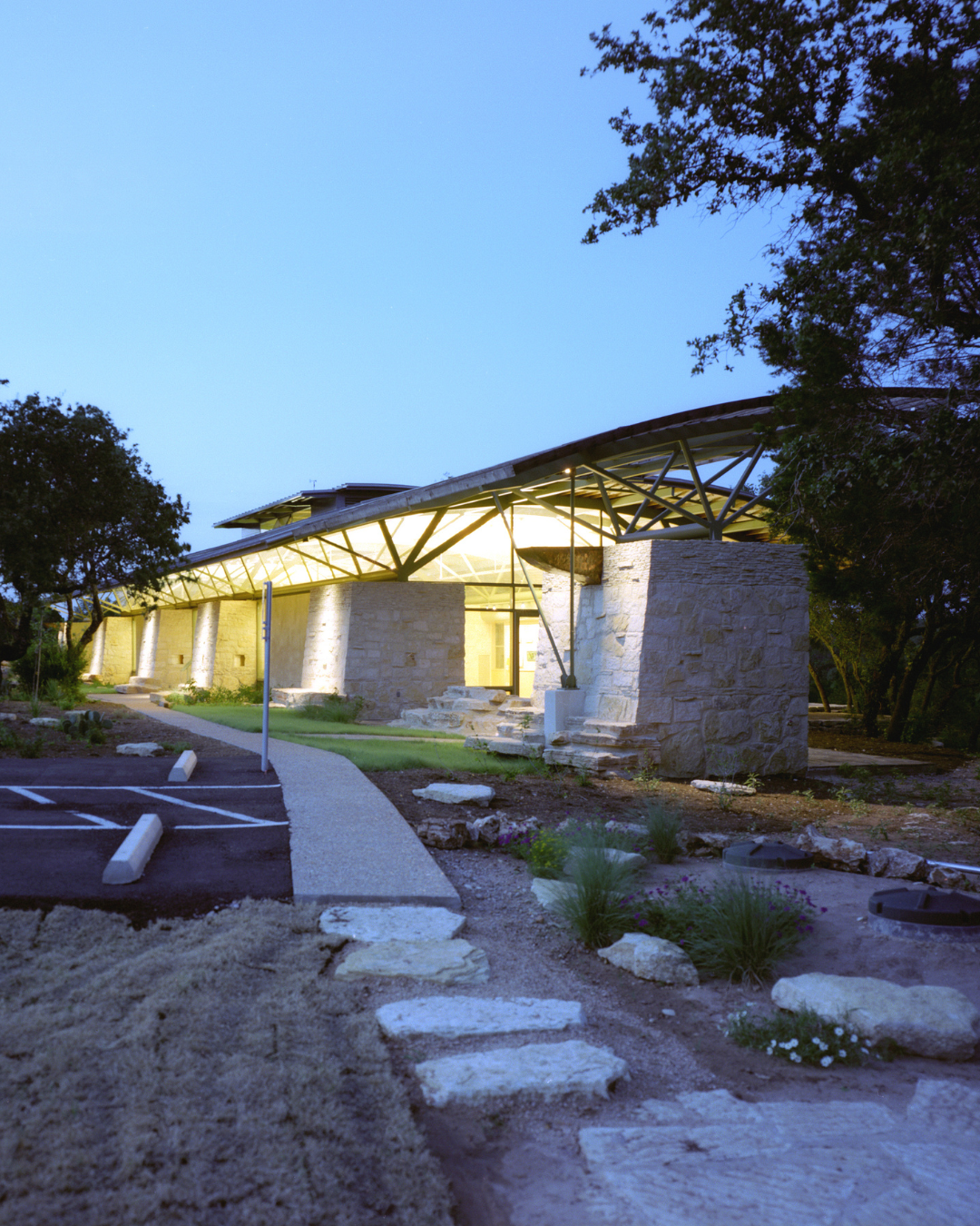
The American Institute of Architects recognized Westcave’s Environmental Learning Center as one of the top ten green buildings in the United States.
-
2008
PROTECTING THE UPLANDS
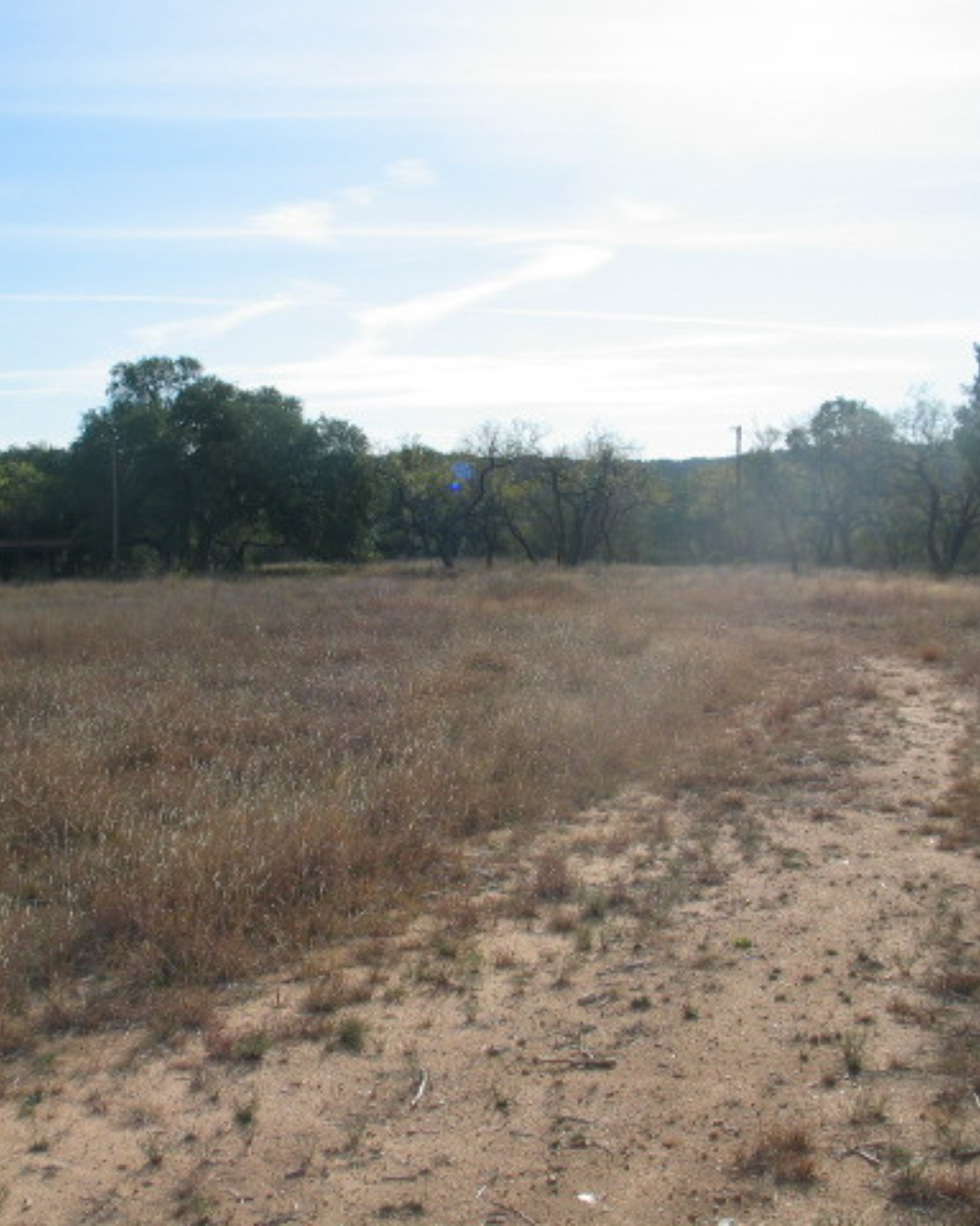
Westcave expanded its protected landscape with the acquisition of the Uplands, a tract upstream from the grotto and waterfall that helps safeguard the water flowing into the canyon.
Videos From The Archive
The Story of Westcave
This video traces Westcave’s transformation from a heavily damaged, unmanaged swimming hole into a protected preserve dedicated to conservation and environmental education. It highlights the people, restoration efforts, and community support that shaped Westcave’s early history and lasting mission.
Directed by Dean Rindy and Richard Kooris.
Take a Tour of Westcave with John Ahrns
Join longtime Westcave steward John Ahrns for a guided journey through the Preserve. Along the way, he shares the natural features, stories, and interpretive approach that helped generations of visitors form a deeper connection with Westcave. Believed to be filmed in 1990s, but no date was provided.
Filmed by Kevin Ryan.
Publications by Decade
Pictures and Information: Westcave Archive Project and Discovering Westcave by S. Christopher Caran and Elaine Davenport.